
A presentation at useR!2018 in in Brisbane QLD, Australia by Marek Rogala

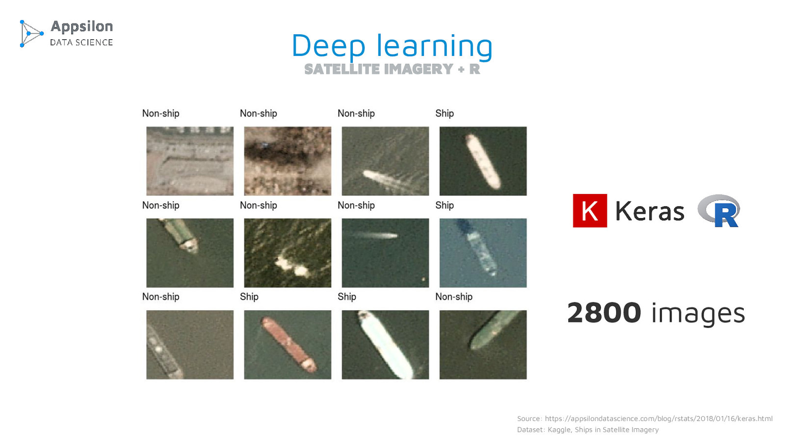
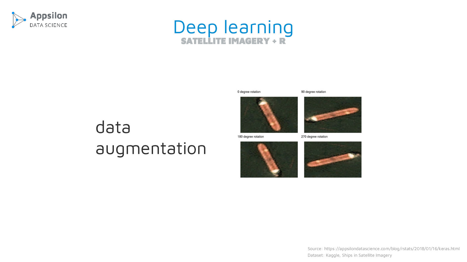
The talk is about new possibilities arising from applying deep learning to satellite imagery.
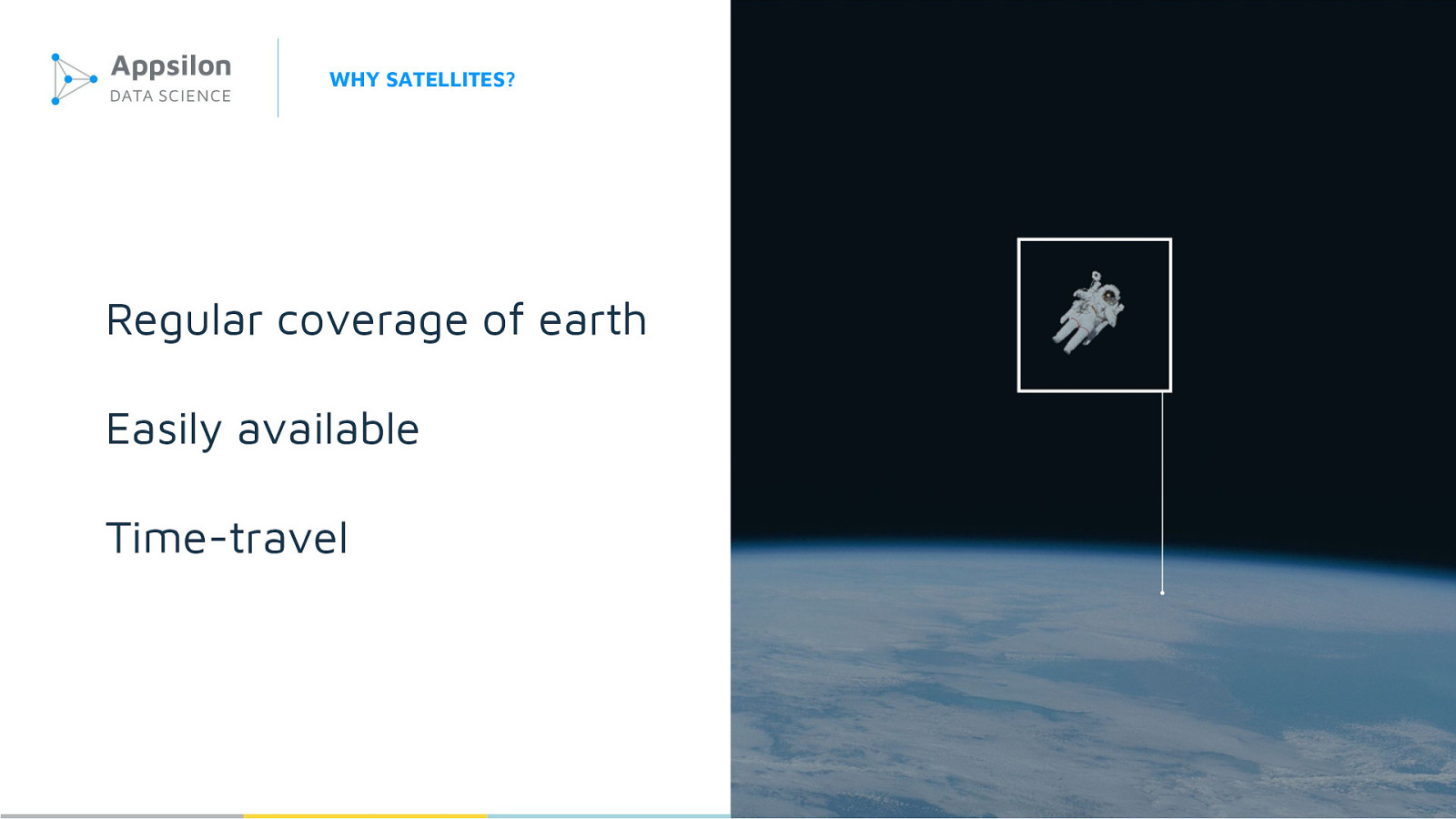
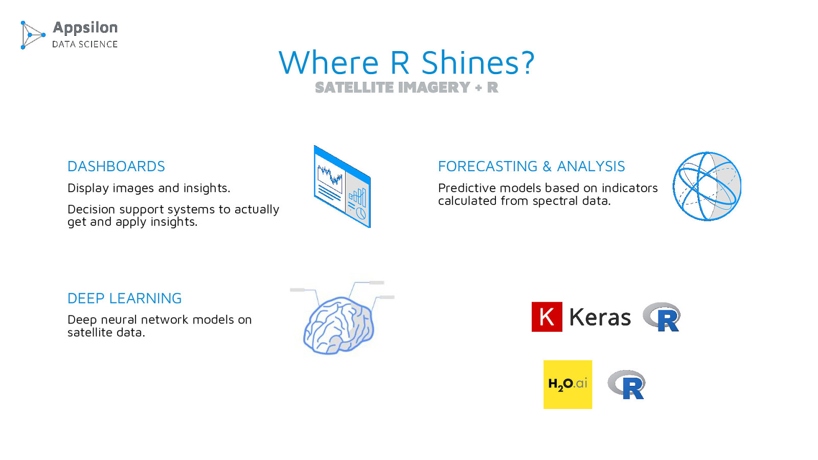
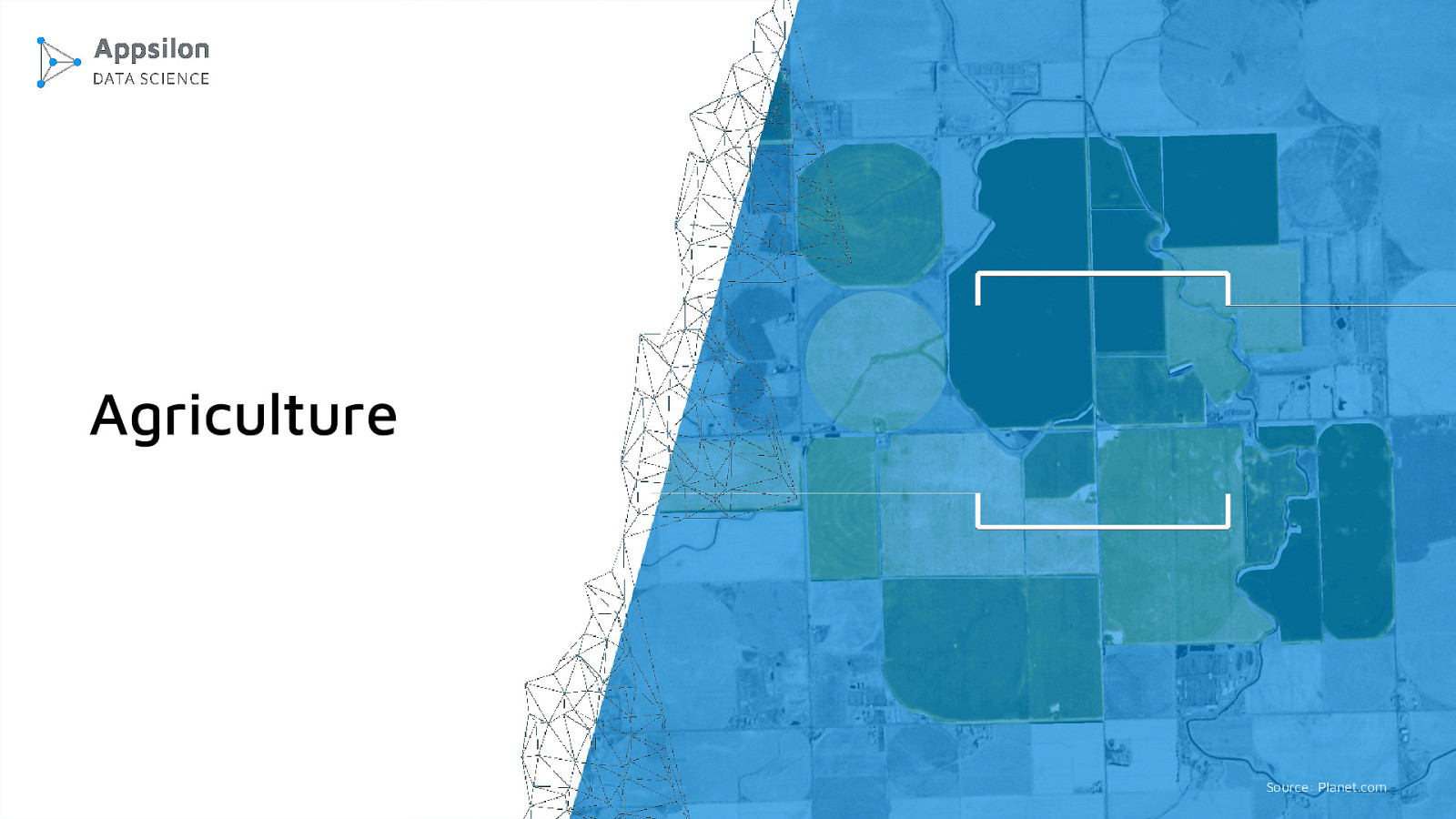
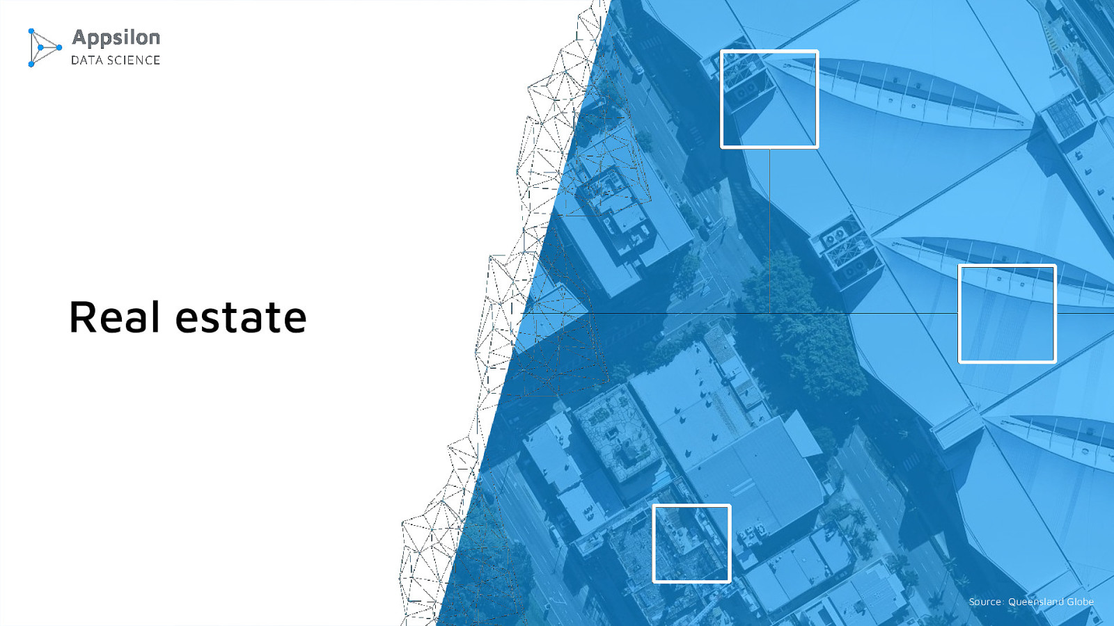
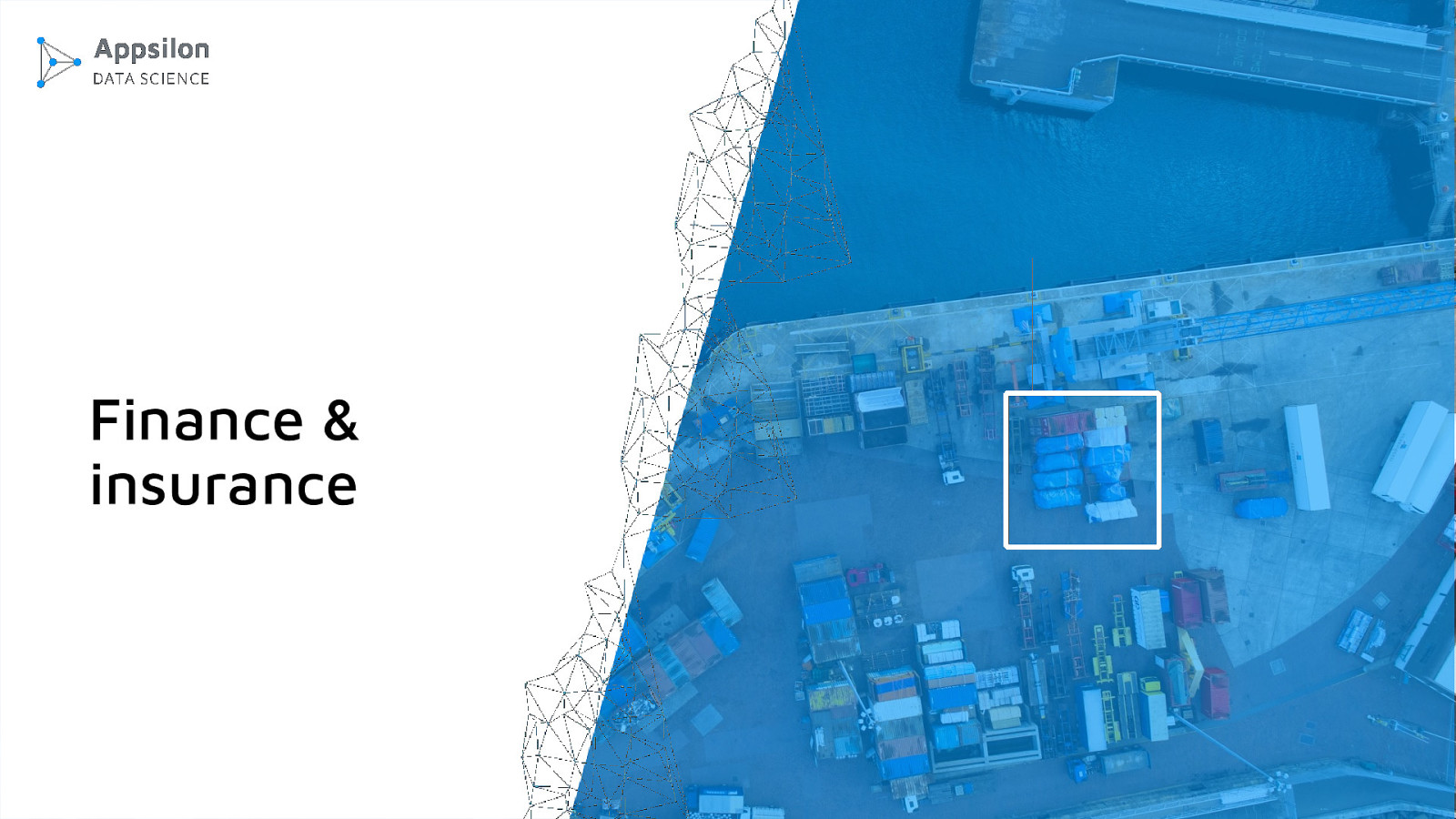
Satellite data changes the game as it allows to reach information not available to business nowadays and to travel in time. Combined with deep learning techniques, it delivers unique insights that have never been available before.Using deep learning on satellite data can deliver insights no human can.
Satellite data is huge and non-obvious. By being able to go back to an arbitrary time in history we can prevent frauds. We can build forecasts and observe events we wouldn’t have access to otherwise.
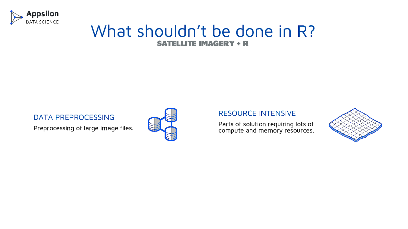
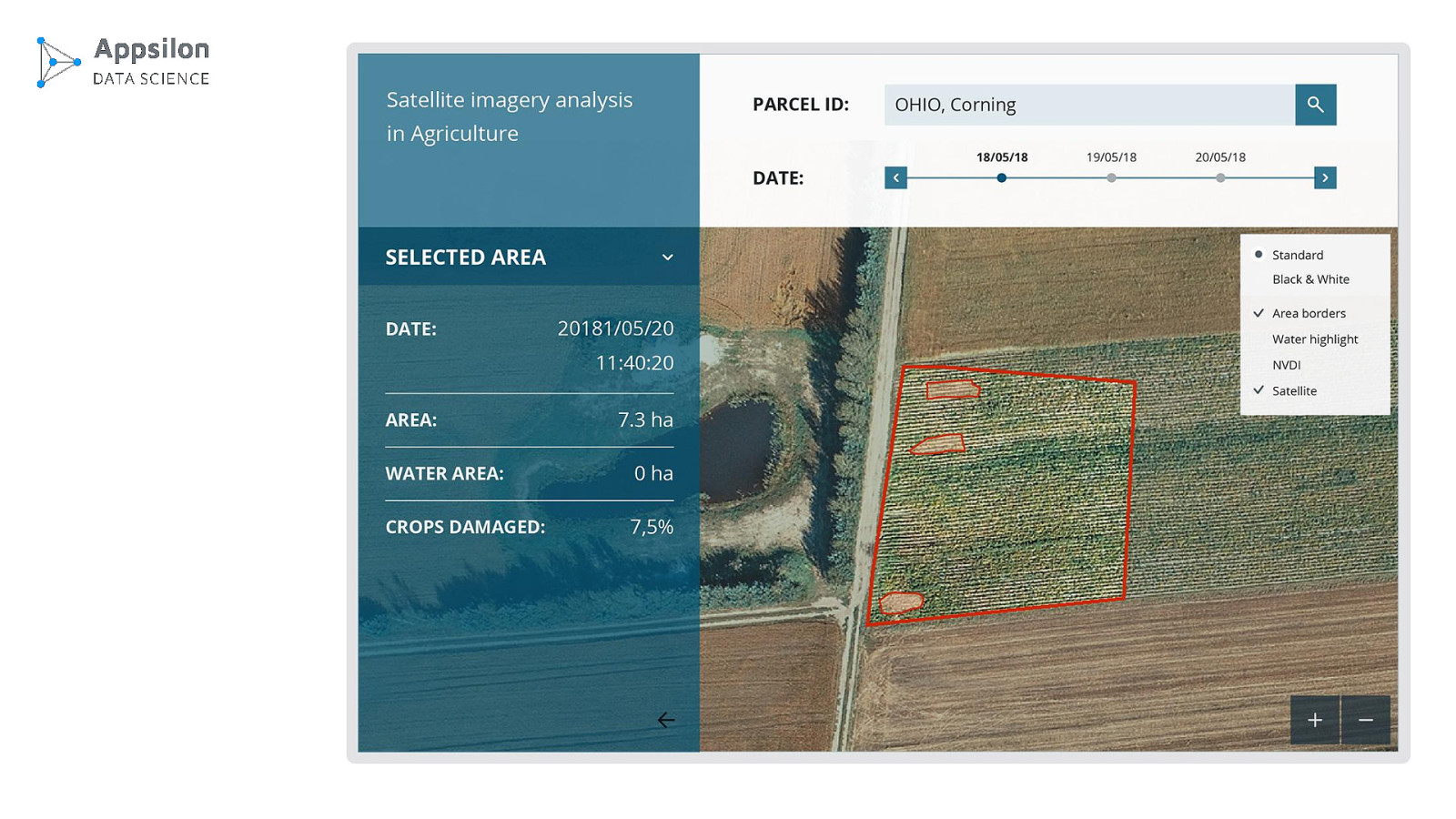
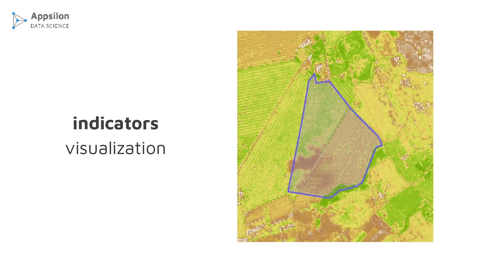
We’ll explore a number of emerging use cases and the common traits behind them. I will show how our R department is working with satellite data and how we use Shiny to build decision support systems for business.
The following resources were mentioned during the presentation or are useful additional information.
Here’s what was said about this presentation on social media.

 for free. You
can too.
for free. You
can too.